
Muskogee ZIP Code Coverage
USPS materials identify three core ZIP codes served through the Muskogee Post Office: 74401, 74402, and 74403. That statement describes postal service, not three fixed neighborhoods or a complete city-limit map. For a specific home, the current result from USPS is the proper check. The city atlas, county map, parcel, tax, and legal-description records answer the separate question of whether a location is inside the City of Muskogee or elsewhere in Muskogee County.
| ZIP Code | Areas Covered | Post Office | Notes |
|---|---|---|---|
| 74401 | Muskogee Post Office service area | Muskogee Post Office | Confirm a particular street address with USPS. |
| 74402 | Muskogee Post Office service area | Muskogee Post Office | City-limit status needs a parcel or map check. |
| 74403 | Muskogee Post Office service area | Muskogee Post Office | County situs and postal city can differ. |
Research did not locate an official neighborhood-by-neighborhood ZIP boundary list, a complete ZIP polygon, or a historical realignment timeline. It also did not verify a special-use or PO-box-only ZIP for this page. The safer practice is to retain the printed ZIP from an older source, record the current USPS result separately, and avoid drawing a boundary that the source does not document.
Muskogee ZIP Code Formatting
USPS ZIP Code Lookup is the current route for a standardized mailing address. Its role is delivery formatting, not finding residents or identifying parcel owners. The USPS release for the Muskogee Post Office at 505 N Main identifies the same three ZIP codes. Entering a street address through USPS before a records search helps preserve the postal city, directional prefix, street spelling, and ZIP that the delivery system recognizes.
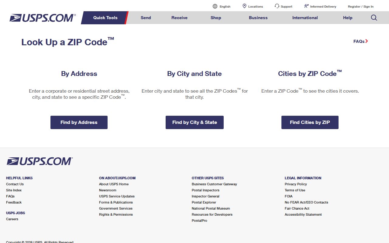
The lookup screen is a postal-format tool. Carry its result into a parcel or deed search only after keeping the returned ZIP separate from city-limit and occupancy questions.
Historical records may use an abbreviated city such as MUS, a written-out street number, or no ZIP at all. ZIP codes arrived after the older directory era. Keep a raw historical address and a separate normalized modern address in the research notes. That keeps an old directory line, a tax record, and a postal result from being treated as identical strings when they only describe related evidence.
| Input | Street address and city or other available postal details |
|---|---|
| Output use | Current mailing format and ZIP for the next parcel or tax search |
| Not returned | Property ownership, municipal jurisdiction, resident list, or historical occupancy |
Muskogee ZIP Code Tax Searches
OKTaxRolls for Muskogee County is useful after an address or owner name is known. Its visible controls include business or owner name, last name, first name, tax-year range, wildcard name search, unpaid-only results, and sorting. Results can show year, tax ID, owner name, property ID, type, base tax, total due, and payment route. The public interface did not expose a ZIP input, so it must not be described as a ZIP-wide resident search.
The Assessor’s DataCrossPoint property link is the official property-search route, but its exact live Muskogee fields were not available in static research. Ask the Assessor for a field card or use an Oklahoma Open Records Act request when an online record does not show the needed public field. The Treasurer and Assessor counters are distinct access channels. Each can clarify a tax or assessment record without converting a tax owner into an occupant.
Note: No public ZIP-specific resident control was verified for Muskogee County, so postal narrowing should always end with an address or parcel check.
Muskogee ZIP Code Search Steps
Searching by ZIP is a way to organize an address investigation, not a way to generate a list of people. Start with the full street address. The returned postal format can then be compared to the parcel, tax, deed, and map sources. The Oklahoma Voter Portal does not supply a public street or ZIP browse. It is an individual lookup using last name, first name, and date of birth, with protected and Address Confidentiality Program records excluded.
- Run the known address through USPS and save the returned mailing format.
- Check the address or owner through the Assessor, Treasurer, or property portal, recording parcel ID and situs separately.
- Use the County Clerk’s deed index with an address-derived legal description, instrument, owner, or party name when available.
- Check the City atlas and ODOT county map before treating a Muskogee postal address as a city address.
- Use an individual voter verification only when lawful and only with the information it requires.
Once the ZIP has narrowed the mailing geography to a street, the Muskogee street directory has the fuller address-to-parcel and deed-chain workflow. A ZIP remains a supporting fact, even when the address later appears in a directory, tax packet, or recorded instrument.
Muskogee ZIP Code Map Layers
The City of Muskogee atlas and the Oklahoma Department of Transportation county map provide the best verified geographic cross-checks in the research. The atlas shows streets, blocks, utility and zoning layers, and labels for areas outside city limits. The county map adds municipalities, county roads, waterways, and transportation routes. Neither one should be mistaken for a ZIP polygon, but together they help test whether the postal city, city limit, and county location line up.
This distinction matters around the City of Muskogee because the county includes other communities and an address with a Muskogee mailing label can still require a county-situs check. Record the source used for each boundary decision. Planning areas, postal routes, census areas, and city limits can have different outlines and purposes.
Muskogee ZIP Code Record Fields
A strong address record keeps its separate parts visible. The parcel or property ID identifies a record inside a county system. The situs is the physical-property clue. A tax owner or owner mailing address describes an administrative connection. A deed legal description, such as section-township-range or addition-block-lot, can remain stable when the printed street address changes. Postal city and ZIP serve delivery, while city-limit status answers jurisdiction.
- Raw address exactly as printed in the source
- Normalized street address and current postal ZIP
- City-limit status, county, and parcel or property ID
- Situs, owner mailing address, and tax year kept apart
- Legal description and any documented historical aliases
A tax packet’s location line and a deed’s legal description can corroborate a parcel without being duplicate words. Compare dates before joining them. This avoids turning a current postal correction into a false historical change.
Muskogee ZIP Code History Gaps
Some records questions need a present-day source and a historical source side by side. No official Muskogee ZIP realignment history, complete street-renumbering timeline, or full alternate-street-name list was located during research. That absence is a reason to document uncertainty, not to guess a conversion. Try the modern number, a possible earlier number, numeral and spelled-out street forms, direction before and after the street name, and standard street abbreviations. Then compare the legal description, lot, block, section, township, and range where those details exist.
The Library of Congress Muskogee Sanborn item is a verified November 1898 source with seven sheets and public-domain access.
It can explain a historical street grid or building use, while parcel and deed records provide the separate property trail. Keep every source’s date visible when reconciling the two.
Muskogee ZIP Code Listing Limits
No verified public Muskogee portal turns a ZIP code into a current resident list. USPS provides delivery formatting. OKTaxRolls provides owner and tax-year searching, but its captured controls did not include ZIP. The Oklahoma Voter Portal is an individual search that asks for last name, first name, and date of birth, with no county dropdown, street browse, or public sort. A qualified requester may have separate Election Data Warehouse access, but that controlled route is not a workaround for protected voter information.
For a ZIP-based question, document the address used, the USPS result, the source date, the parcel or tax identifier, and the city or county map check. Then state exactly what the record shows. A postal code can support a mailing-format conclusion. It cannot, by itself, establish ownership, present occupancy, a household relationship, or municipal jurisdiction.
Muskogee ZIP Code Boundary Limits
A ZIP code boundary and a municipal boundary are not the same thing. The research verifies that 74401, 74402, and 74403 are served by the Muskogee Post Office, but it does not support a claim that every address within those postal areas is inside the city. Before assigning city jurisdiction, compare the USPS result with the parcel, city atlas, and ODOT map. County offices may hold a record even when the postal city says Muskogee.
For older house or family research, search the street and city without assuming a ZIP was printed. Use both number and word forms for numbered streets, vary directions and abbreviations, and preserve a historical spelling. The verified 1898 Library of Congress Sanborn maps offer a seven-sheet historical time slice for building and lot context. They do not prove ownership or identify every occupant.
- ZIP and ZIP+4
- The five-digit ZIP identifies a delivery area; ZIP+4 adds a smaller delivery segment.
- PO-box ZIP
- A ZIP used for post-office-box delivery, which may not identify a physical location.
- Unique ZIP
- A ZIP assigned to one organization or delivery purpose; none was verified for Muskogee here.
- Carrier route
- A delivery route grouping, not a municipal boundary or a record of who lives there.